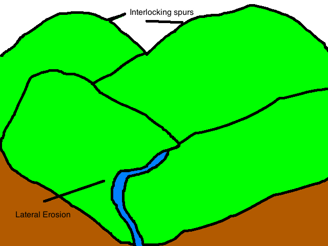
Delta Formation:
Delta are found at the mouth of the river, where the river meets the sea. at this point the river is carrying too much load for its velocity and so deposition occurs. The top of the delta is a fairly flat surface. This is where the coarsest river load is dropped. The silt is dropped to form a steep slope on the edge of the delta hile the clay stays in suspension until it reaches the deeper water.
Different Delta's:
Accurate Delta:
- triangular/fan shaped
- water enters the sea through many distributaries
- formed when alluvial (rich soil) deposits are even spread out
- long shore currents help to form spits and lagoos at the mouths of the distributaries
- e.g.: nile delta
Bird's Foot Delta:
- has distributaries that extend far into the water
- formed when river discharge is high and load is enormous
- sediments deposited far exceeds those removed by tides and currents
- e.g.: mississippi delta
Estuarine Delta:
- sediments are deposited in a long narrow submerged estuary
- delta does not usually grow beyond the general coastline because sediments deposited outisde the estuary would be washed away by waves and currents
- e.g.: seine delta
Cuspate Delta:
- tooth shaped or pointed delta formed by one dominant channel carrying most of the sediments out to sea
- e.g.: ebro delta


Formation process of Deltas:
- when a river enters the sea, it mixes with the surrounding water and its speed is reduced.
- the salty seawater causes the silty particles to aggregate/accumulate into larger particles (flocculation).
- as these deposits are heavier, they are deposited first at the river's mouth.
- the main river channel will be silted and blocked up.
- river overflows and splits into many small channels called distributaries.
- as layers upon layers of alluvial materials are deposited, a platform of alluvium is built up and rises above the water.
- this flat alluvium is called a delta.